Showing posts sorted by relevance for query earthquakes. Sort by date Show all posts

Friday, November 4, 2016

Method of Predicting Earthquakes

There are no known methods for predicting both shallow and deep earthquakes. Plate Tectonics theory (Turtle Earth) that has been accepted by mainstream geologists for so long has failed to produce any prediction mechanism.

Basically there are two different types of earthquakes, deep and shallow and they occur statistically in response to alignments of nearby celestial bodies mainly known to us as phases of the Moon and also to distances Earth-Sun, Earth-Moon. My hypothesis in both cases is the main source of mechanical energy arise from changes of chemical phases followed by changes of volumes in rather large pockets of thermally and chemically homogeneous materials inside the lithosphere for the deep ones and similarly changes of phases and volumes of water (instant or flash boiling) in deep crevices for the shallow ones triggered in both cases by changes of pressure in those large pockets due to ground tides. It seems important to note here the unavoidable coincidence of using the word phase with two completely different senses while describing two different concurrent phenomena and also co-existence of two different types of of earthquakes produced and triggered by similar phenomena at different depths and with different materials.

http://www.physicalgeography.net/fundamentals/10h.html

According to Plate Tectonics theory the plates with known boundaries described slightly differently on many different competing geological maps should be more than the crust, which is 5-70 km thick, and include the solidified part of the mantle together comprising the lithosphere where earthquakes occur.

I hereby submit the so called plates are not made of a contiguous and solid material. They are rather a collection of adjacent thermally and chemically homogenous volumes floating together on the magma and being pushed in the same direction by single horizontal magma convection currents towards areas where two opposed horizontal convection currents meet and move downwards where they [solid material, so-called plates] accumulate and generally raise together upwards, and apart from areas of upward vertically splitting convection currents where are replaced by new solidifying material pushed upwards by upwards splitting convection currents.

In these area where convection currents meet or split there are volumes of thermally non-continuous and inhomogeneous lithosphere with pockets of uniform or homogeneous materials were changes of phase with changes of volumes may occur in the entire volume during heating or cooling due to vertical motion, according to the phase diagrams of those materials, simultaneously or in short period of times that is the duration of earthquakes.

As two large areas of floating lithosphere meet or separate from each other in areas above both upwards and downwards convection currents known from geological observations as faults there are more opportunities for changes in pressure and temperature for the contiguous and homogeneous volumes of magma due to vertical movements and complex 3D rearrangements then in all of other areas of the lithosphere.

However the sudden phase changes in thermally and chemically homogeneous volumes may occur mostly triggered by tipping external factors such as gravitational influences of nearby celestial bodies and atmospheric pressure.

Also the displacements registered by measurements at ground level are very small relative to the enormous size of the plates and could be easily absorbed through plastic deformations by the enormous size of the hypothetical plates.

There are already theories and studies that suggest intraplate plastic deformations may occur.

"The theory of plate tectonics assumes a rigid behavior of tectonic plates and therefore fails to account for observed intraplate deformation. A new theory of intraplate tectonics is developed to calculate the first-order intraplate deformation induced by horizontal displacement of deformable plate boundaries." "The theory indicates that the first-order intraplate deformation is predominantly induced by horizontal forces acting on plate boundaries and by buoyancy forces that arise from lateral density variations between mid-ocean ridges and plate interiors (ridge push). The simplicity of the predictions and their good agreement with observations suggests that intraplate deformation should be investigated in the pole of rotation spherical" A theory of intraplate tectonics. Shimon Wdowinski.

Another argument that does not favor rigid tectonic plate theories is the recorded speed of S-waves in the crust during earthquakes.

There was an earthquake in Nereju, Vrancea, Romania with the following parameters taken from an automated email from USGS:

Magnitude 5.6

Date-Time

23 Sep 2016 23:11:20 UTC

24 Sep 2016 02:11:20 near epicenter

23 Sep 2016 15:11:20 standard time in your timezone

Location 45.723N 26.627E

Depth 88 km

Distances

7 km (4 mi) W of Nereju, Romania

37 km (22 mi) ESE of Covasna, Romania

42 km (26 mi) NE of Nehoiu, Romania

43 km (26 mi) W of Focsani, Romania

149 km (92 mi) NNE of Bucharest, Romania

There are video recordings published on the web from surveillance video cameras in Bucharest that tell the first trembles corresponding to S or shear waves arrived in Bucharest approximately 30 seconds later which corresponds to a speed of 300 km per minute or 5  km/second.
http://teenskepchick.org/2014/12/15/the-physics-philes-lesson-123-conduction-convection-radiation-oh-my/
There are temperature gradients in the volume of the mantle and crust and the continuous raise of the mantle and crust to a higher level may lead to lowering the temperature as the crust is raising. In this way in fault areas atop splitting upwards convection currents at various depths all the way to the mantle massive crevices may occur. At the surface the crevices accumulate and form valleys but deeper the crevices may get filled with water, either from aquifers or from oceans above. Their depth may be corresponding to the depth at which shallow earthquakes appear to be coming from current observations and measurements.

Communication of deep underground water and higher aquifers or oceans may occur through networks of shafts or caves or porous rock. Pressure and level changes of water at the surface may influence the pressure in the deep crevices.

Moon, Sun and other planets' gravity influence the level of waters in seas, oceans and lakes known as tides. Changes of levels in the underground aquifers may occur during passages and alignments of nearby celestial bodies such as Moon, Venus, Mercury and Sun in the same way they occur during ocean's' tides. Changes of levels may lead to changes in pressure all the way to the deep crevices.

Water in deep crevices as described above may be at a depth where temperature can lead to slowly and constantly boiling. However the vapors do not often reach the surface and rather condensate at higher levels and fall back as liquid water back in the deep crevices.

https://en.wikipedia.org/wiki/Phase_diagram

Water boiling temperature is influenced by pressure. Water can boil in vacuum (no pressure at all) at very low or ambient temperatures, at 100 degrees at sea level and up to several hundred degrees at several km deep in the ocean.

Sudden decrease of pressure in a body of water boiling slowly or at near boiling temperature in all volume can cause sudden accelerated boiling in the whole volume with sudden increases in volume due to vapors and pressure known as flash boiling. If this sudden boiling occurs in a massive crevice as mentioned above the flash boiling which is accompanied by increase in volume may lead to expansion in upper crevices through narrow passages producing massive vibrations known as earthquakes.

Following the alignments or phases of the Moon, monthly perihelion of Moon (closest point to Earth), yearly perihelion of Earth relative to the Sun, and other planets' alignements, tides are being predicted for navigational purposes.

I hereby propose the following earthquake prediction mechanism based on the above described boiling water in deep crevices theory: Most probable an earthquake will occur during planetary alignments likely to cause the lowest tides in a hypothetical or real ocean above known seismic areas combined with a sudden atmospheric pressure decrease.

http://www.ucl.ac.uk/EarthSci/people/lidunka/GEOL2014/Geophysics7%20-%20Deep%20Earth/Earth%20Structure.htm
For deeper earthquakes there may be a mechanism similar to water boiling but applied to the overheated magma. Magma is rather chemically complex and has a complicated phase diagram with many phases and transition possibilities from one phase to another that can occur during cooling or changes of pressure sometimes with change of volume.

Changes of phases may propagate suddenly in homogeneous volumes of overheated magmas where favorable temperature and pressure conditions exist as predicted by the phase diagrams of different basaltic magmas and may induce sudden changes in volume that may also lead to earthquakes. These changes of phase may be triggered by rather subtle variations of pressure from any direction including from the surface and induced by the same factors such as gravity of nearby celestial bodies that create terrestrial, oceanic and atmospheric tides and/or by changes of atmospheric pressure.

A very comprehensive and inexpensive way to prove a theory is through applying it to older data.

Last summer there was a series of earthquakes in Italy and Romania that really motivated me to look further into this problem. Especially after i read the news about a possible link between earthquakes and moon phases raised by researchers from Japan.

The issue was not new to me. Years ago where i was living in Romania i was looking into a possible link between earthquakes and atmospheric pressure but more from the point of view of Plate Tectonic theory. Then i thought differences in atmospheric pressure applied on large areas of rigid tectonic plates might transmit all the way to the edge or the place meet that is in fault areas and change the "tension" forces in those areas.

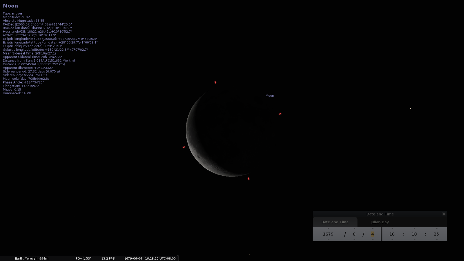
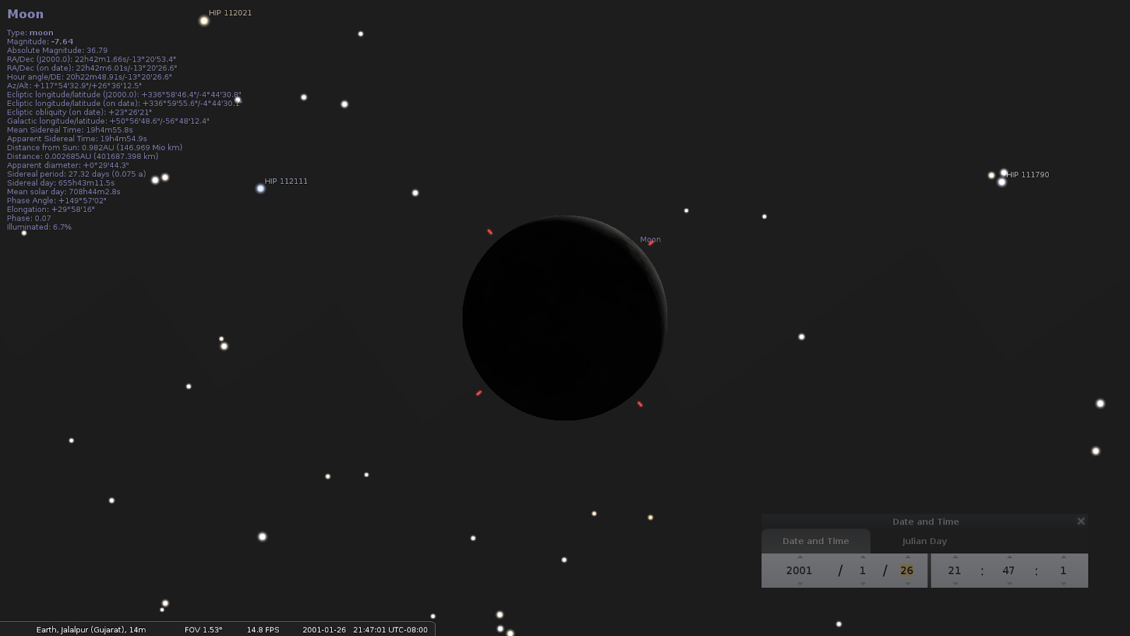
Also years ago when i first installed Linux onto one of my computers which BTW i still use i came across on a rather entertaining free piece of software known as Stellarium, a software planetarium that came with the operating system. That app is not really accurate as it uses only cinematic motion equations in calculating orbits that is not taking into account the very complex influence of gravity of different celestial bodies on each other but while getting accustomed with it i tried to recreate the sky over Iasi, Romania, a city where i witnessed the catastrophic earthquake of March 3rd 1977 in Vrancea, Romania. Because then i was impressed with the sky immediately after, the strange little cotton balls covering the whole sky cloud formation and the full Moon above which remained in my memory. Recently and independently from the current news about the link between Moon phases and earthquakes i verified this hypothesis with Stellarium on other earthquakes and Moon phases.

Then this year i started downloading data from USGS and making tables and adding Stellarium screenshots to those and figured there was a very strong correlation between the two. Because i could not reach past databases with synoptic maps with atmospheric pressure i was watching the newly occurring series of earthquakes in Romania and Italy and used a meteo prediction web site to see if there is a link with the atmospheric pressure. It was confirmed earthquakes occur only when there is a decrease in atmospheric pressure correlated with alignments of Moon, Sun and Earth.

More recently i tried and downloaded the whole list for earthquakes greater than 4 in Romania from USGS database. I uploaded it then to a spreadsheet and added columns for Moon age (days since New Moon), phase of Moon, distance and hour of each earthquake in that list. Since linear formulas for moon age were not accurate enough i added manually the Age of Moon in days and fraction of days from sites that claim higher accuracy.

Then based on the data gathered i started to build simple histograms counting earthquakes in relation to Earth-Moon distance, time of the day, day since new moon, etc.

All the data i studied so far especially the list of earthquakes greater than 4 in Romania i attached here though it didn't lead immediately to a very precise prediction algorithm is encouraging me personally enough into believing such correlations exists.

As a work for the final purpose of finding a precise prediction algorithm, factors need to be separated from each other, influence from atmospheric pressure data need to be added and analysed after gathering that data and generally more data needs to be gathered including meteorological data and everything must be processed with more advanced statistical analysis software including AI or machine learning algorithms on performant computers.

As i stated in one of the paragraphs of this project's description i agree that the the best way to study a correlation would be adding historical data from oceanic and terrestrial tides combined with atmospheric pressure to existing earthquake databases as tides are a good measure of the combined gravitational forces acting upon one location of the earth at a certain time and combined with changes in atmospheric pressure possibly triggering earthquake events according to the theory of phase changes or any theory that accepts earthquakes can be triggered even by subtle variation of geological forces such as tensions in tectonic plates though external influences such as nearby celestial bodies' gravity and atmospheric pressure with the separation and isolation of each influencing factors through statistical methods.

There are a couple of problems though related to correlation between tides and earthquakes as oceanic tides are confined of course to oceans and though they are a good measure of combined gravitational forces, other forces interfere like inertia and/or tidal waves in vast oceans. Also tides of course do not occur on continents except in seas nearby seismic areas and they are not always close enough.

From what i know there is no database for terrestrial tides as i think nobody has been interested in though NASA might have some data on those.

In conclusion i think the best way to pursue the correlations with the influence of combined gravitational forces of celestial bodies on triggering earthquakes is by finding from existing knowledge in universities, space agencies and generally astronomy resources and ultimately isolate formulas that would give a way of calculating total gravitational forces and variations of those forces at time and place of earthquakes in current databases. This can be done following existing knowledge and research and adding those to this project.

As for the atmospheric pressure data, the best way would be to download databases from known sources.

Sunday, October 9, 2016

Sun, Moon and Earthquakes

[Post in development. Please be patient. It will take days until i can get screenshots with the moon for all earthquakes in the 20th and 21st centuries. But from what i've seen so far earthquakes do not occur always when Moon is full or new. I believe statistically without any filters there is still evidence of a link between alignements and earthquakes. But i also suspect if you eliminate cases when alignements occur when moon is farthest from Earth and in an "unfavorable" position.

(Moon does not rotate around Earth in the same plan with Sun but in a tilted one. Also orbit is not circular but elliptical with more than 10 percent difference in diameters.)

https://www.google.com/search?q=moon+motion+around+earth&biw=1215&bih=624&tbm=isch

The best way to prove a correlation i think it would be with the tides. Tides follow closely every variation and cycles of Moon orbit in fact giving a precise measure of the combinations of Moon-Sun gravity effect on entire Earth. Maybe it would be best if i put the screenshots on hold and try to find a link in that direction.

"Several recent studies, however, have found a correlation between earth tides (caused by the position of the moon relative to the earth) and some types of earthquakes.

One study, for example, concludes that during times of higher earth and ocean tides, such as during times of full or new moon, earthquakes are more likely on shallow thrust faults near the edges of continents and in (underwater) subduction zones." https://www2.usgs.gov/faq/categories/9827/3354

The only thing that does not fit with my theory is depth. Aquifers are almost near ground level, at rivers level. Can vibration from a big surface focus deep inside the earth and in the end fool measurements. In fact i really don't understand how they can say the depth of an earthquake if not from calculations between reflection times, phase of the waves etc. but all based on current theories.

I've been looking at a few sides with tide predictions and historic and realized that alone is not what i'm looking for. Calculation of Moon and Sun gravity towards large bodies of water on the surface of the Earth start looking to me like a nightmare. The pull comes from a different direction at every latitude, there is a horizontal and vertical component of the pull. Inertia also plays a role. Without computer simulation taking into account the shape of the body of water, impossible to make a correlation between Sun and Moon gravity and earthquakes.

Even more impossible in a body of water that sits in a sponge like irregular shape geological structure.

In the mean time i'be been thinking. What is the temperature at 100 km or where a deep earthquake occurs. According to google, 25 degree per km, that is 2500 degrees at 100 km? https://www.google.com/search?q=earth+temperature+depth

Lava temperature is about 1000 Celsius that corresponds to a depth of 40 km?

At 2500 most materials known to human kind are melted. How can they say an earthquake occured at 100 km depth or more and still believe in plate tectonics theory?

Boiling water temperature is in an area of just 4 km deep. I've been thinking. We know for a long time about the existence of thermal water. In some places water comes to the surface at high temperature. But imagine what happens when underground water sitting there in hard to imagine shapes of caves and reservoirs together with air bubbles of different pressures, tipped by Moon-Sun gravity and/or inertia moves suddenly into a deep cave or crack like 4 km deep and start boiling? Steam would build up pressure then what? Create a bubble of steam that would come back at the surface at high speeds or cracking the earth even further, collapse caves etc... Sending shock waves in the aquifers and surface... Then cool on its way to the surface and condensate back in the aquifer, like in a cycle.... Create an earthquake? Most likely but that would be indeed impossible to predict...

One thing is sure though. Building dams on aquifers is not a good idea. And aquifers are everywhere...

Mapping the underground with ground penetrating radar and/or other methods like seismic exploration or send robots in the aquifers... Then simulate everything on supercomputers to figure when large amounts of water are about to tip in a deep hot cave... But after such an event the configuration would change... Over and over...

Until i'm done with the screenshots... Anyone can see Moon, distance from Earth and from Sun, and all the other parameters during any earthquake with these simple steps.

Install Stellarium http://www.stellarium.org/wiki/index.php/Installation

Start it.

Hit F11 to get into fullscreen.

Search for the Moon. <CTL><F> and type moon in the search box then enter.

Zoom with mousewheel until you like what you see.

Hit F5 to bring in the time window. Input the date of the earthquake.

Location doesn't matter so much. Moon is pretty much the same on all Earth within 24 hours or so.

But if you wanna be more accurate you can do so by bringing the location Window from the hidden menu on the left.

https://www.youtube.com/watch?v=NOGEyBeoBGM

]


Wednesday, April 17, 2024

Steps Towards Predicting Earthquakes

Just realized something that made me rewrite everything i wrote recently about earthquakes.

Earth's higher crust temperature varies. Which means, exactly like in the case of bridges, railroads and freeways, it may be dilating or contracting. Imagine what happens when the crust expands. Will probably raise up, reducing the pressure underneath. Here is everything i knew before that:

Tectonic plates theory says the Earth is made of a mosaic of plates, big and small, of which number varies according to different authors, all rigid or each made of one piece, and earthquakes occur at the areas where they meet and... rub against each other, being pushed underneath by concurrent or divergent horizontal convection currents.

The phase changing theory says bubbles of magma are slowly raising to the surface in areas where there are descending or ascending convection currents again pushing vast areas of semi-loose rocks floating on magma (continents, ocean bottoms) against each other or apart from each other. Some of the bubbles may erupt  at the surface as volcanos, but some may freeze before that.

However, magma is a complex mixture and has several freezing points. Put scientifically, it has a complex phase diagram (of lower mantle), with several different solid phases, each with its own volume.

When magma in a bubble (which may have the size measured in miles) changes phase progressively with high speed, starting with one point, it expands or contracts suddenly but progressively until the whole bubble has changed phase. The phase change is ultimately triggered by a small but sudden change in pressure.

The surface earthquakes occur when water from the aquifer trapped in deep caves at near boiling point at that temperature and pressure according to the depth and other factors, boils suddenly, again triggered by a change in pressure, thus changing phase from liquid to vapor.

One can argue that atmospheric pressure is very small compared to the pressure in those bubbles. It may be, but the pressure is distributed over a large area and if the bubble is at that tipping point, it can make a difference. So it is a factor.

Other obvious factor may be the weight of precipitations, which may be enormous on the whole seismic area, or the lack of it.

Position of Earth in the Sun Earth Moon triangle. Gravity forces between these celestial bodies is enormous. The Moon pull is in the range of 10 to the power of 15 ton-force.

Thing is, it is not the same on the whole Earth, but greater on the side of the Earth where Moon is closer, because gravitational force varies with the square of distance, one Earth diameter being about 1/6 to 1/7 of the distance between Earth and Moon.

We have much greater forces between Earth and Sun, but those do not vary as much because the distance difference between those of the opposite side of the Earth is much smaller than distance to Sun.

As a result, Earth is being deformed by the combined actions of the two which is translated in lesser known ground tides, which can be in the order of 1-2 meters and more visible ocean and smaller seas tides.

Pressure inside the crust due to gravity forces described above changes daily with Earth's rotation and exposure towards Sun and Moon and also with seasons, due to the tilt of Earth's axis. After billions and millions of years, Earth has stabilized which means those variations alone do not cause earthquakes anymore.

Or pressure and/or maybe speed of pressure changes due to gravity is outside the range for producing an earthquake.

The immediately accessible measure of combined Sun-Moon variations of gravity pull on Earth's surface is given by tides.

We now have pretty accurate predictions for atmospheric pressure, temperature and precipitations, also for tides in or near major seismic areas. Just by looking at those, one can get an idea when an earthquake may occur. Temperature (of the crust) rising, recent cease of precipitations, barometric pressure drop, high tides.

For this reason, i recently put on the right side of my blog links (last in list) to those charts for the seismic area of Vrancea, Romania. Until someone using those or more advanced mathematical models than using tides as measure for gravity influences, can make a chart just for earthquakes probabilities in known seismic areas.

Though one cannot make an accurate prediction for an earthquake using the linked charts, one can easily figure the time when it cannot happen (rule out).

Thursday, February 6, 2025

February 6

12:45 AM Lately, motivated by my discovery confirmed by old Indian religious artifacts, passages from the Bible about the nature of light, i went back and re-read some of the materials and see the videos in once saw about Tesla, years ago and thought they were all conspiracy theories.

Not about Tesla. Most of the things they said about him were/are true.

Part scientist, part inventor and engineer and a bit charlatan.

Today we all know wireless transmission of power is not possible. Not at the scale he said he wanted to do. I mean, we can charge phones wirelessly. We can transmit power using a narrow microwave or laser beam and that's about it.

But there is much more about his story and having the qualities mentioned above. Will we ever know the truth?

He used the cover of wireless power transmission to build a time machine and a geo-weapon, backed by this guy JaPi Morgan who looks a bit Asian to me. I am saying "he", though most likely he was just an actor, given the "demonstrations" with wireless bulbs and sparkling coils he gave all over the US. The visible part of a huge iceberg which is most likely the same that hit Titanic.

With it, he first destroyed tsarist Russia, starting with the demonstration given at the time of Tunguska event which i believe was done by remotely shortcutting the ionosphere to the ground.

Then Austro Hungarian Empire for which i don't feel any sorry. But for that to happen, many millions had to die, all over Europe.

You are going to ask me. How come i point at those guys today saying they are controlling the world. I don't know, maybe they are blackmailed into it.

After destroying much of Europe in two different wars, here came the turn of the US. Starting i don't know, since we can remember, the Orson Welles episode or earlier, the great depression, US started to sink into oblivion. With 36 trillion debt, caused mostly by the imports from Asia. 700 billions a year, only the interest.

Theoretically the richest country on Earth, given resources and infrastructure, people live, as Tom Petty would say, like refugees. In barracks, spending hours a day in traffic and eating food or breathing air that is barely above edible or under breathable status. Where some people instinctively choose to be homeless probably because of the quality of housing.

10:20 Who owns the New Yorker hotel?
10:30 They have been in Romania since at least 1996 so they know us well. Steve Lee was my mechanic since after 2000.

5:30 PM I bet they got some way of getting in here while i'm sleeping. Probably one of the reasons they replaced the windows with plastic ones. A strong enough magnet would pull the latch.

My washer, by the brand Whirlpool broke. Or it can be one of the two phases of the AC it is fed with. I started a load last night but never finished it. Today it worked for a few minutes then it quit. It sounds like the motor is vibrating instead of turning. It's not only the transmission. It does not work as pump either.

6:08 Nevermind. It works as pump. It sounds like the transmission is gone. The latch's handle is made of aluminum. It could be the latch itself can be opened somehow with a magnetic field or it has a powered mechanism inside. I myself feel very tired. I went to smoke, a small person came and hit something at the SW dumpster and then i saw it run away.

Though i slept 6 and a half hours i feel so tired i cannot go and make the pizza.

6:42 They are only about symbols. It looks like this is the part that broke. Nr.13 here. Pump is on the other side of the motor. Plastic on metal joint. Matches the symbols used recently. Whirlpool, Trishul, DC motor, etc..

6:50 Earlier i wrote about me getting exposed again to phone radiation while i tried to setup a google account to download a seismic meter to measure the quakes done by the garbage truck but that entry was lost. I also wrote about how the limits for microwave radiation that were set in 1996 have never been reviewed and how they are hundreds of times higher than in other countries.

I was too late, the garbage truck was gone, it did do much vibration today anyways. Got pains in the areas they were closest to my Samsung laptop that i used non stop 10-12 hours a day for 6 months. When i went about half hour ago to smoke a cigarette, those pains got activated

6:58 There was a while after i moved here i had the feeling they were pretending i am creating earthquakes with my washer. Many earthquakes occurred after i did laundry.

At times, there was a Lake Oswego fire engine in the parking lot at Meridian for days if not months, while the firefighters themselves got their health checked at the Meridian offices. I would assume they were pretending damping the vibrations from my washer with the load water in the tank of their fire engine.

Our (Hungarian minority of Romania) Minister of "Development" (that only spends money, 4 billions of euros allocated this year to be more precise, nobody knows on what) just said... Who put him in charge of that "wealthy" minister? A guy from German minority of Romania...

Back in June 2024 i have successfully predicted several earthquakes in LA area, based on statistic data on tides and atmospheric pressure. Plotted past earthquakes maps in California and Romania. Wrote numerous posts about earthquakes and put together a method of predicting.

In fact, much of what i posted in the months of May and June 2024 is about earthquakes. Click on older and newer post at the bottom of posts or check in the hierarchical archive (right side of each post).

I think i wrote how about a few weeks ago i went to a gas station (Circle K in Lincoln City), then went inside for the restroom and i saw this very old man, moving like he was on an exoskeleton, looking like Nikola Tesla would if he was alive.

It has been said Tesla could create earthquakes, locally. Everybody knows what happens in  Greece these days. Largest volcanic eruption in history. Or on the coast of Oregon. Could be combined with the myth of Xenu.

Could it be the reasons they got in here while i was sleeping and broke my washer?

It is all accelerating these days because what i wrote about. Photon and generally the real theory about everything.

9:30 Yeah i got really mad and all my tiredness melted away on adrenaline and went and did the pizza and was thinking. They could have also done it remotely (without entering), using some sort of resonance, by means of large vehicles hitting the bumps outside, on a part that probably is notoriously weak (metal on plastic joint), working on that machine for decades.

I got a choice. Call the office and have them replace the washer and drier (they never fix things, it's too expensive) or fix it myself as i did in the past. The clutch, the dogs. And then i have to reinstall my contraption that saves me money and dry cleaner, on closed circuit. Cause if i don't, the pipes in the basement will break or clog.

And  yeah. There's a Korean guy in the office these days. Just remembered what i said about sulfur and Pele's hair.


11:00 The Mongols (noongars, magars, ninja).

11:15 The dogs of laundry are barking upstairs even at this hour.

11:20 I saw the map. Xanadu was a real place!

Wednesday, May 8, 2024

May 8

1:45 I hate to see every time i want to post something the date has changed. I mean, time is flying so fast.

Got to a conclusion with my study regarding the correlation of number of earthquakes and moon distance. Apparently the column i added manually for Moon distance 8 years ago was wrong. I can't remember where it took it from, a calculator from a site, it was showing a correlation but could not interpret the results.

Recently i looked at and realized that correlation is possible, however i only had distances added for 8 years out of 76.

After a few days of work and emotions i added in the table columns with the most updated formulas for calculating the Moon distance, those from Wikipedia. But this time i verified a few instances with Stellarium. Stellarium does not give center to center (Earth center and Moon center) distances but the distance from a point on Earth and the surface of the Moon.

Since Earth is rotating, the distance from a point varies according to the our of the day, by up to 2 times Earth diameter, or 12k kilometers but for the instances i verified, the distance calculated was within those limits.

As base for calculations i used the Julian date or day, used by NASA and Stellarium that starts on 1/1/4713 BC.

There is no doubt the chart is not random (if there are not other mistakes), but it shows a strong correlation, a bit different from the one with the wrong distances. As for why there are more earthquakes in certain distance ranges, i think it has something to do with the pull of Moon on Earth on different points of the ecliptic.

But the way the earthquakes happen both on small distances and long ones can only mean one thing. There are two different types, one that happen at high pressure when the phase change in the magma (under and @100 km depth) is in one direction and ones that happens at low pressure, when the phase change reverses. This way we can have earthquakes in the same magma pocket as long as the pressure and temperature conditions are near equilibrium in that pocket.

I will add here a link to the sheet, not the html but the sheet itself. I guess it can only be opened if you have a google account and you are signed in. So those interested can see how i implemented those formulas in the sheet.

There is one more thing i have to add. If you scroll down in the sheet will see on the left two diagrams showing location (longitude, latitude) and depth of the 431 events >4 between 1940 and 2016 in Romania.

It looks like they are distributed on a well or grape bunch like structure, and not on a line or "fault" as expected when talking about "fractures" of the "tectonic plates".

There could not have been mistakes, for those charts i used the data exactly as downloaded from USGS.

BTW Anybody who  knows a bit of Excel can try and do this for any seismic area. Go to USGS search catalog, choose magnitude, time range, etc., draw a rectangle on a map, and then chose CSV as download format. Then you upload the data in a sheet, draw charts in longitude-latitude-depth coordinates, anything you like.

There is a software called jmol used to represent interactively molecules in 3D big. I plan on finding something similar so i can represent in 3D + magnitude (tiny ball size) an entire seismic area. This way we can all see the distribution and basically the anatomy of the seismic area so we can study it cause it looks like our scientists don't care if it doesn't sell.

If you click on the link above, then click on the static representation and try to stop the rotation with your mouse.

I would think if you could do a time based slider controlled animation of the evolution of a bunch you could probably see how the earthquakes move from one place to another and figure what a seismic area actually is and maybe how it works.

Please note the software is free, done by volunteers. Think of what they have on supercomputers and AI and keep for themselves.

12:45 O aluzie abia mascată...


Saturday, July 6, 2019

Low Tides, Atmospheric Pressure, Earthquakes and Ninja (converted from fb)